
Land east of Cromwell Lane
Burton Green, Warwickshire
Public consultation
The proposals
As well as delivering much-needed housing, half of which will be affordable, the proposals will bring a range of wider benefits for new and existing residents, including:
Over fifty percent of the site will form accessible green open space, including children’s play areas and informal recreation, community gardens and landscaped parkland, and a network of walking and cycling routes in addition to the existing public rights of way network.

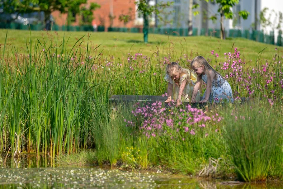
Natural habitats enhanced through new wildflower planting.
A net gain in biodiversity.
New pedestrian and cycle infrastructure to improve connectivity from day one.
Funded contributions to local infrastructure.
Sustainable drainage features including swales and attenuation basins.
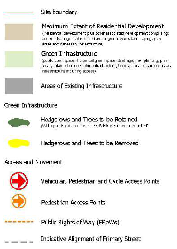
Parameter plan Click to enlarge
The site
The 5.78-hectare site is on the northern edge of Burton Green, to the south west of Coventry and south east of Balsall Common. It is currently used for agricultural grazing and contains a number of trees and hedgerows within its boundaries.
The site is bounded by residential properties facing Westwood Heath Road and Cromwell Lane to the north and west, the Crest Nicholson residential development to the east, and agricultural land to the south. This site is contained on three sides by built development.
Landscaping
The masterplan incorporates dedicated green corridors and green infrastructure throughout the proposed development, alongside significant landscape buffering. This provides a soft transition between built form and open countryside, alongside newly accessible public open space.
Existing trees and hedgerows have been retained where possible to maintain landscape continuity and the established settlement pattern of Burton Green.
Design
The proposed homes will include a mix of sizes, from 1-bedroom to 4-bedroom and will be predominantly 2 and 2.5 storey in height.
A Design and Access Statement will be submitted alongside the outline application, setting out design principles informed by local character and policy. Detailed design, materials and layout will be resolved at the reserved matters stage.
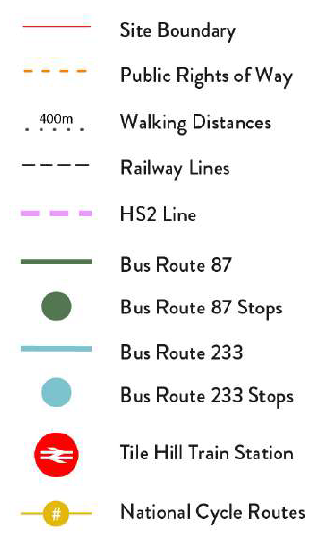
Public transport and connectivity plan Click to enlarge
Access and travel
Vehicular access will be from Cromwell Lane.
A full Transport Assessment will accompany the application and provide further details on access arrangements and trip rates.
Pedestrians will be able to access the site and move around through the network of pavements / trails running through the public open space. These links will connect to the existing Public Rights of Way network and provide enhanced accessibility. The site is well placed to support sustainable travel, with a range of services and facilities in close proximity.
The site benefits from access to a range of local amenities within an approximately 1km and 20 minutes journey on foot, including Tile Hill village centre, Tile Hill train station and Burton Green Primary School. A wider range of shops, services and facilities are also within a short 2km walk or cycle ride, making it easy for future residents to carry out day-to-day journeys using sustainable travel options.
Access Cross Section Plan (access taken from Cromwell Lane) Click to enlarge
Drainage
The site is located entirely within Flood Zone 1 (the lowest flood risk category, with less than a 0.1% probability of flooding in any given year) as defined by the Environment Agency.
A comprehensive drainage strategy utilising sustainable drainage systems (SuDS) will capture, treat and attenuate surface water on site before discharge at a controlled rate, ensuring no increase in flood risk on or off site.
Environment and Sustainability
All homes will be built to meet the Future Homes Standard 2026, incorporating high-performance insulation, low-carbon heating systems and roof-mounted solar PV panels. These measures are designed to reduce household energy use, cut carbon emissions and lower bills for residents.
A full ecological strategy will deliver a net gain in biodiversity as part of the development proposals, as required by the Environment Act 2021. Existing trees and hedgerows will be retained (where possible) and supplemented by new woodland, grassland and wildflower planting throughout the open space network, supporting new and existing wildlife and habitats in the area.
Infrastructure
We understand that new homes can increase demand on local infrastructure and services. During the planning determination process, the project team will work with local infrastructure providers, including: utilities; education; health; highways; other public services and where necessary, financial contributions will be secured to improve local infrastructure.